The Upper Hoh Road runs about eighteen miles east off Highway 101, south of Forks, climbing the Hoh River valley to one of the world's premier temperate rainforests. The valley and river carry the name of the Hoh Tribe, who live today at the river's mouth. Storm-damaged for months, the road was rebuilt and reopened in 2026, so confirm it's open before committing the drive. The small lot can back up an hour or two at the entrance station between roughly nine and five in summer; arrive before nine or after five, and remember there's no cell signal up here, so download everything before you leave Forks.
Turn east here, off the highway, and point the car up the Upper Hoh Road. This is the deepest, greenest drive in the whole park — about eighteen miles up the Hoh River valley into one of the finest temperate rainforests left anywhere on Earth. And the valley and the river you're climbing carry the name of the Hoh people, who live today at the river's mouth and have called this country home for thousands of years. Let me also be honest about the road. It washed out in the big storms a few years back and was rebuilt and reopened in twenty twenty-six, so the fact that you can drive it at all is a gift. It is also no secret. The little lot at the end is small and beloved, so here's the one piece of advice every regular will give you: get here as early as you possibly can. Arrive by eight in the morning on a summer day and you may find that lot already nearly full. Roll in at midday and you can sit an hour, sometimes two, just to reach the gate. So go early or go late: before eight if you can, or after five, when the light goes long and gold in the trees. Now pay attention to how the forest changes as you climb. You've already driven through plenty of green on this trip. But the green up ahead is about to change in kind, not just in degree. It is going to get older. Deeper. Furred and dripping and almost underwater. The trees get taller, the moss starts hanging in curtains, and the air itself begins to feel heavier and softer in your chest. Don't rush it. Let the valley pull you in mile by mile. Roll a window down a crack and listen — the river is somewhere down through the trees beside the road, and the loudest thing you'll hear is how quiet it all gets. I'll meet you up at the trailhead, where the real wonder is waiting.
Photo: Dirtsc · CC BY-SA 3.0
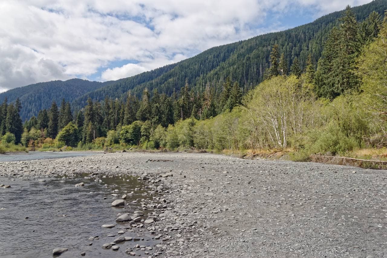
The Upper Hoh Road is the single thread of pavement that carries visitors from US-101 deep into the Hoh River valley, about 18 miles ending at the Hoh Rain Forest Visitor Center. The drive is part of the experience: it leaves the highway through working timberland, then slips into towering old-growth as it follows the milky, glacier-fed Hoh River upstream. There are pullouts for river views, and Roosevelt elk are often spotted in the meadows near road's end.
Because it is the only way in, the road is also the rainforest's chokepoint. Maintained largely by Jefferson County outside the park boundary, the lower section has been battered by floods; a 2024 storm washed it out and closed access for months into 2025 before repairs reopened it. The park lists it as open but conditions can change, so it remains essential to verify status before committing to the long drive out to this remote valley.
- • Route: turn off US-101 about 13 miles south of Forks onto the Upper Hoh Road, then drive roughly 18 paved miles to the Visitor Center (45-60 minutes).
- • The road is the only access to the Hoh; the county-maintained lower stretch has flooded and washed out in recent years, so check the park's Current Road Conditions page first.
- • No timed-entry permit is required, but summer traffic on this single road causes 1-2 hour entrance backups midday; go early or late.
- • Suitable for cars and most RVs; watch for one-lane sections, cyclists, and wildlife on the road, especially elk near the valley floor.
- • An Olympic National Park pass ($30 per vehicle, 7-day) is required, and there are no fuel or services along the road, so fill up in Forks first.