Drive + walkWorks with CarPlay
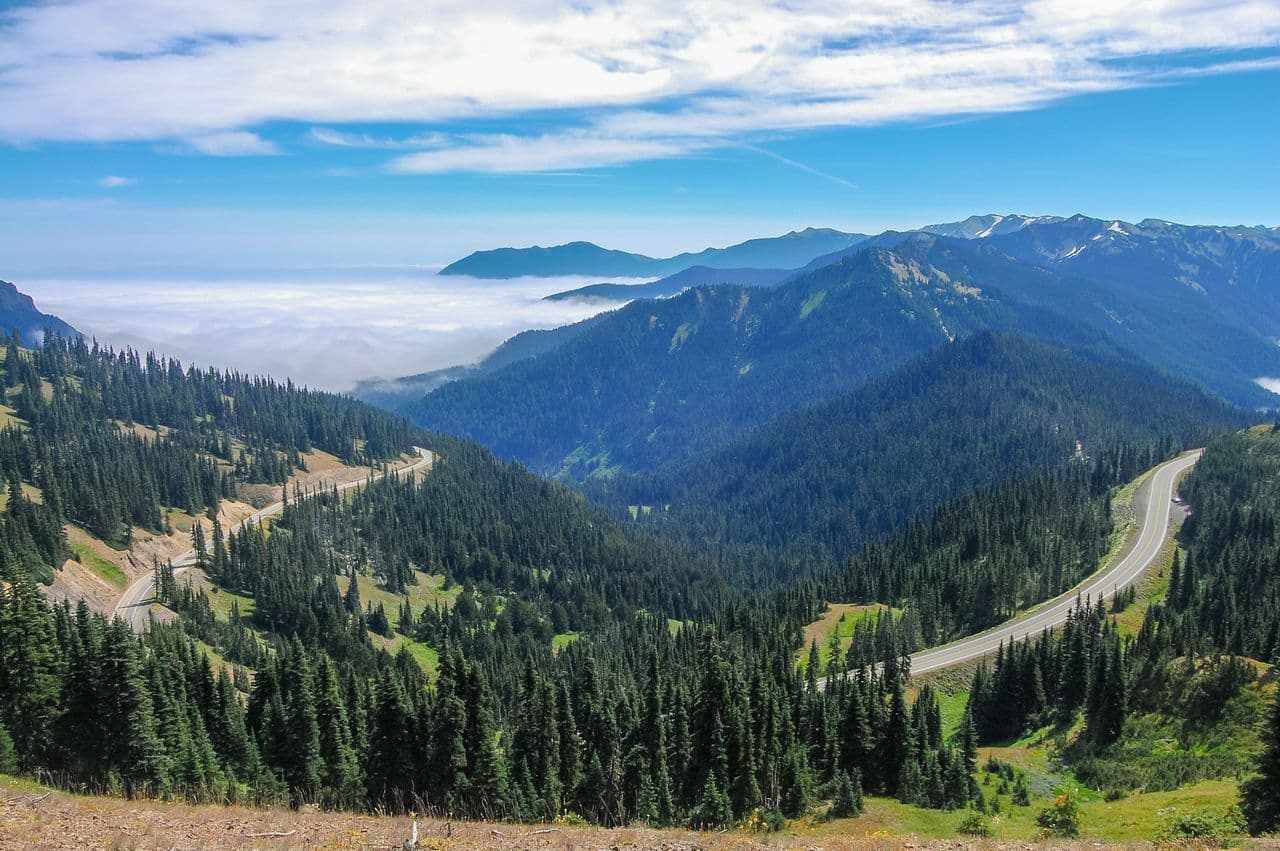
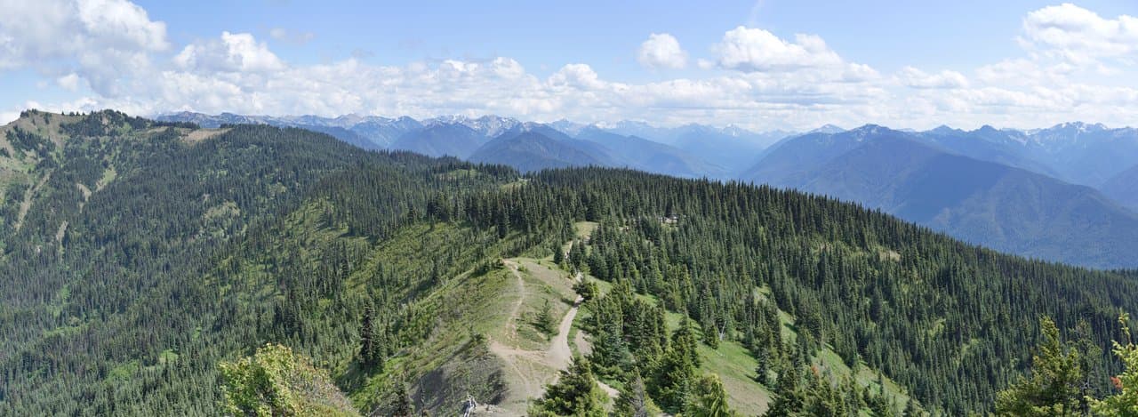
Olympic National Park
137 stops· 1 hr 49 min· 233.0 mi· narrated by Ranger Quinn
Book the self-guided tour now, or get it in the app.
The tour
Book this tour
Reserve your self-guided tour
The route
Every stop
What you'll see and hear
 01
01🎧 Welcome to Olympic — Port Angeles Gateway
- 02The Working Waterfront guide →
🎧 The Working Waterfront
 03The Discovery Trail guide →
🎧 The Discovery Trail
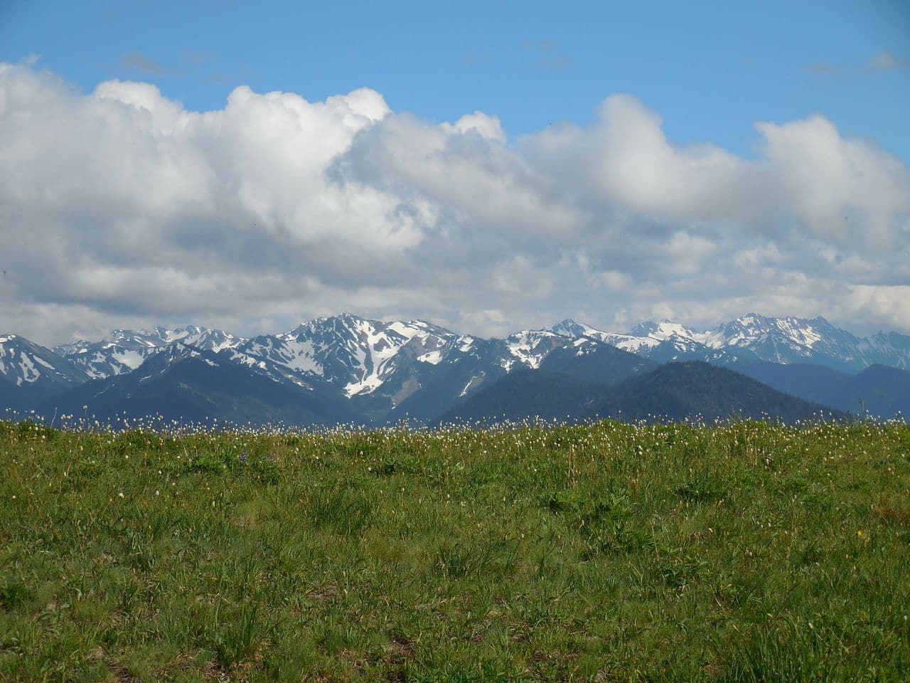
 04A Wall of Peaks guide →
🎧 A Wall of Peaks
 05The Rain Shadow — one mountain, two climates guide →
🎧 The Rain Shadow — one mountain, two climates
 06The Freed Elwha guide →
🎧 The Freed Elwha
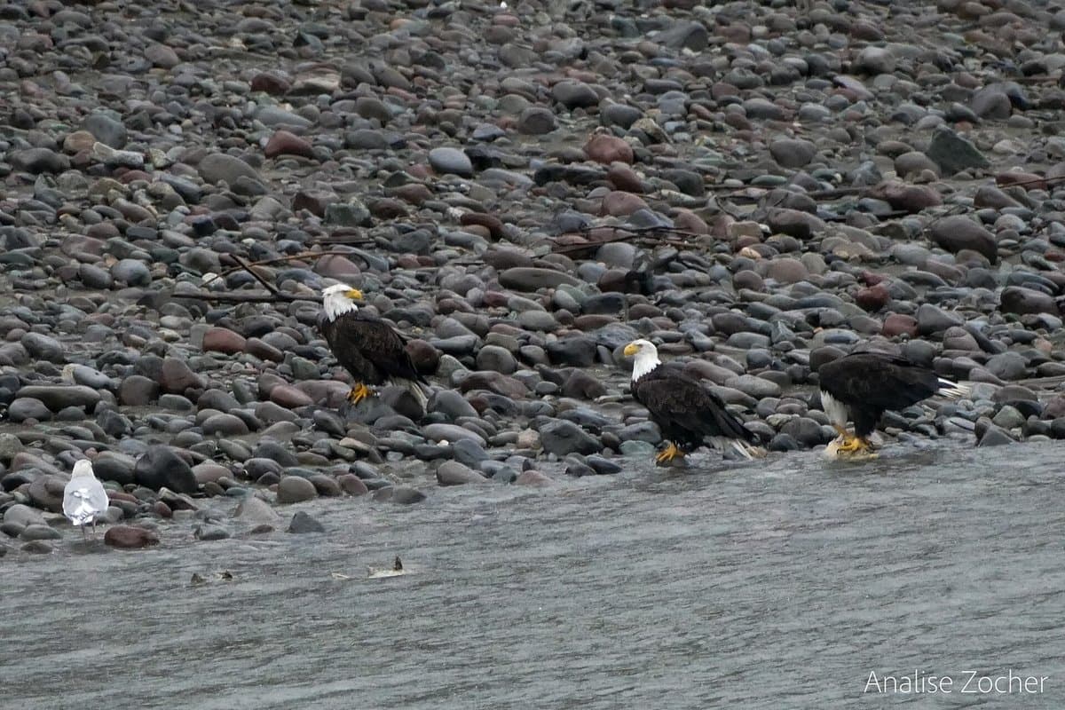
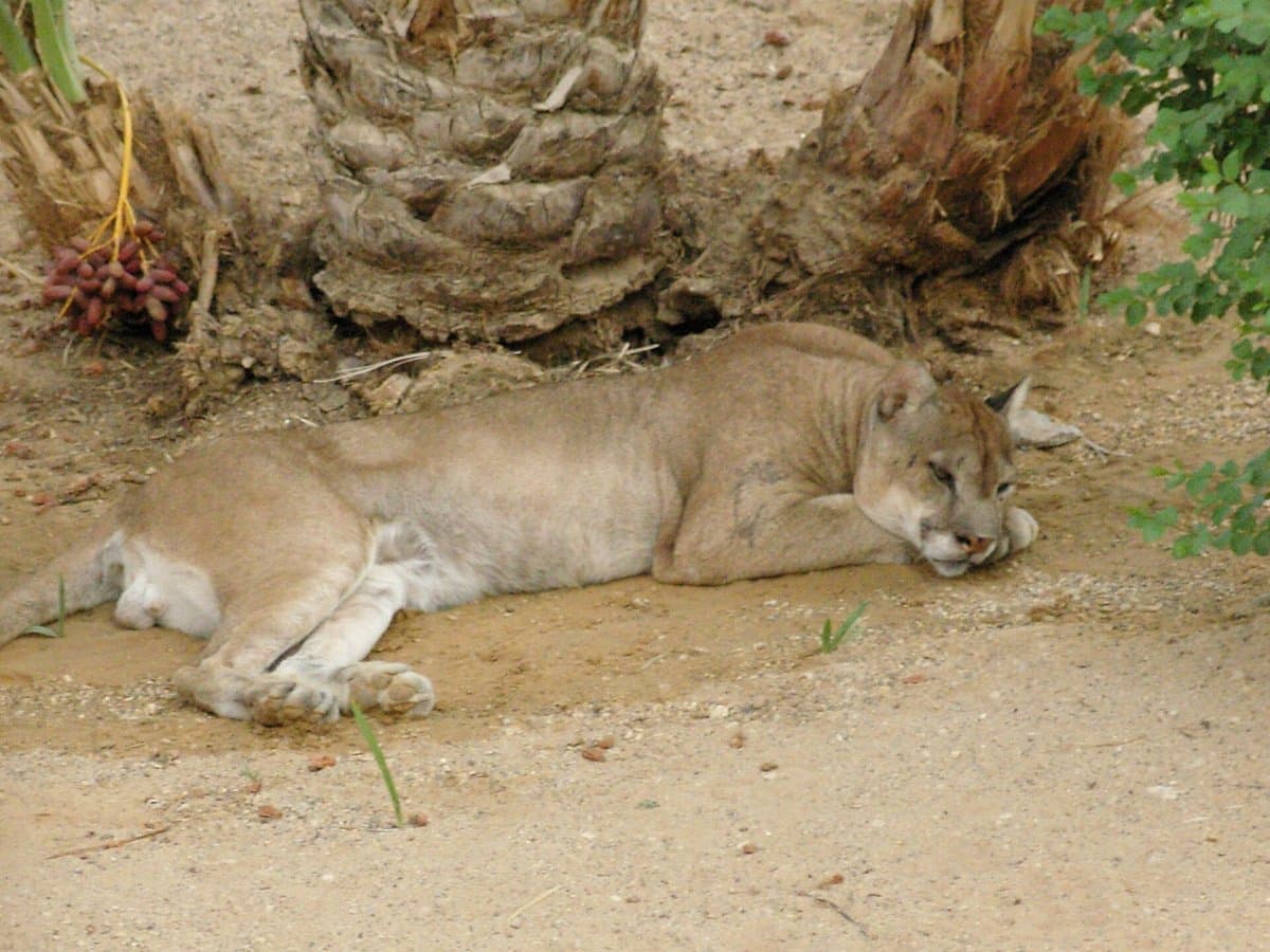 07The Cougar's Country guide →
🎧 The Cougar's Country
 08Found Nowhere Else guide →
🎧 Found Nowhere Else
 09The Strong People guide →
🎧 The Strong People
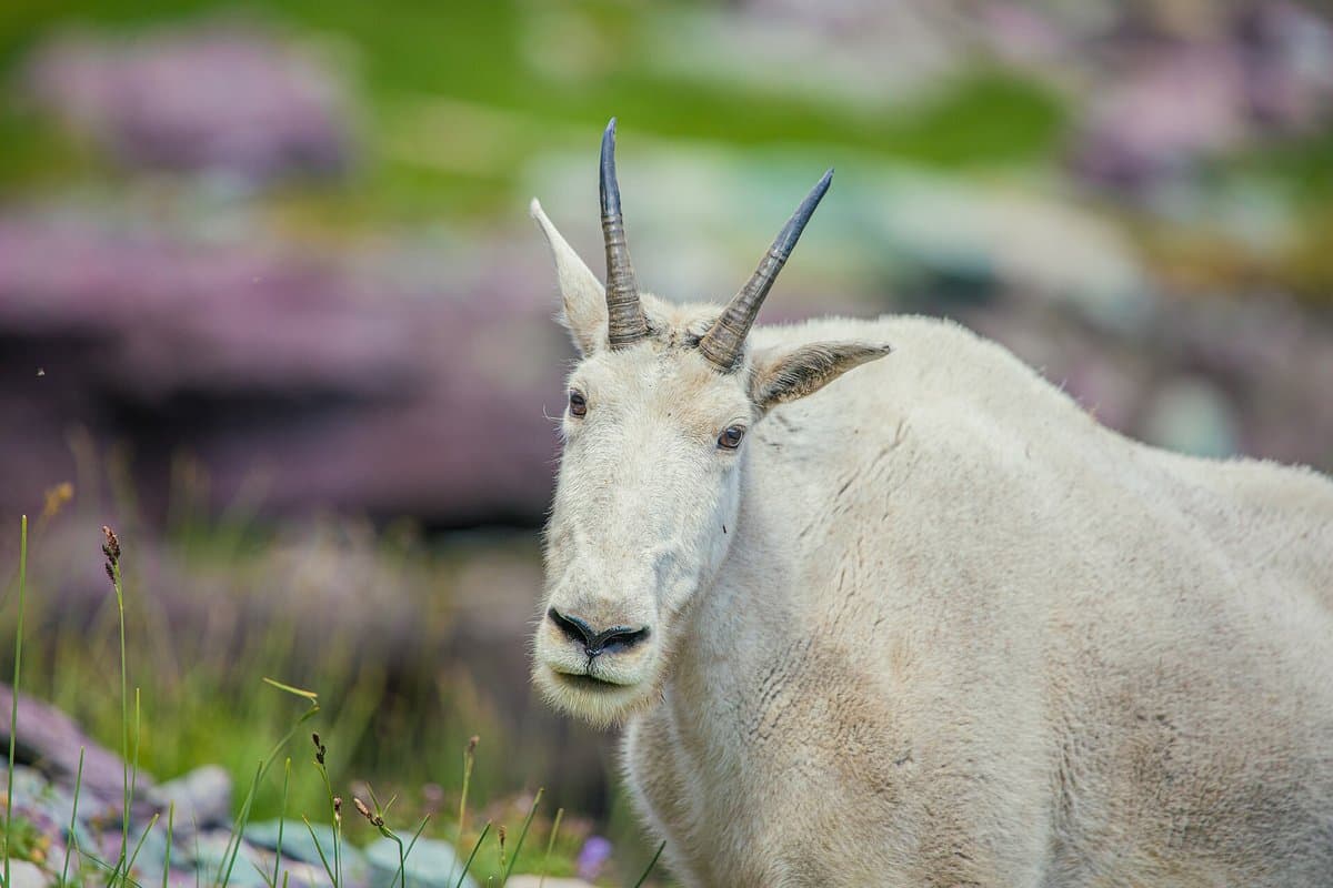 10The Goats That Flew guide →
🎧 The Goats That Flew
- 11The Press Expedition guide →
🎧 The Press Expedition
&w=3840&q=75) 12
12🥾 Marymere Falls Trail — the trailhead (park & walk)
 13Marymere Falls Trail — the trailhead guide →
🥾 Marymere Falls Trail — the trailhead
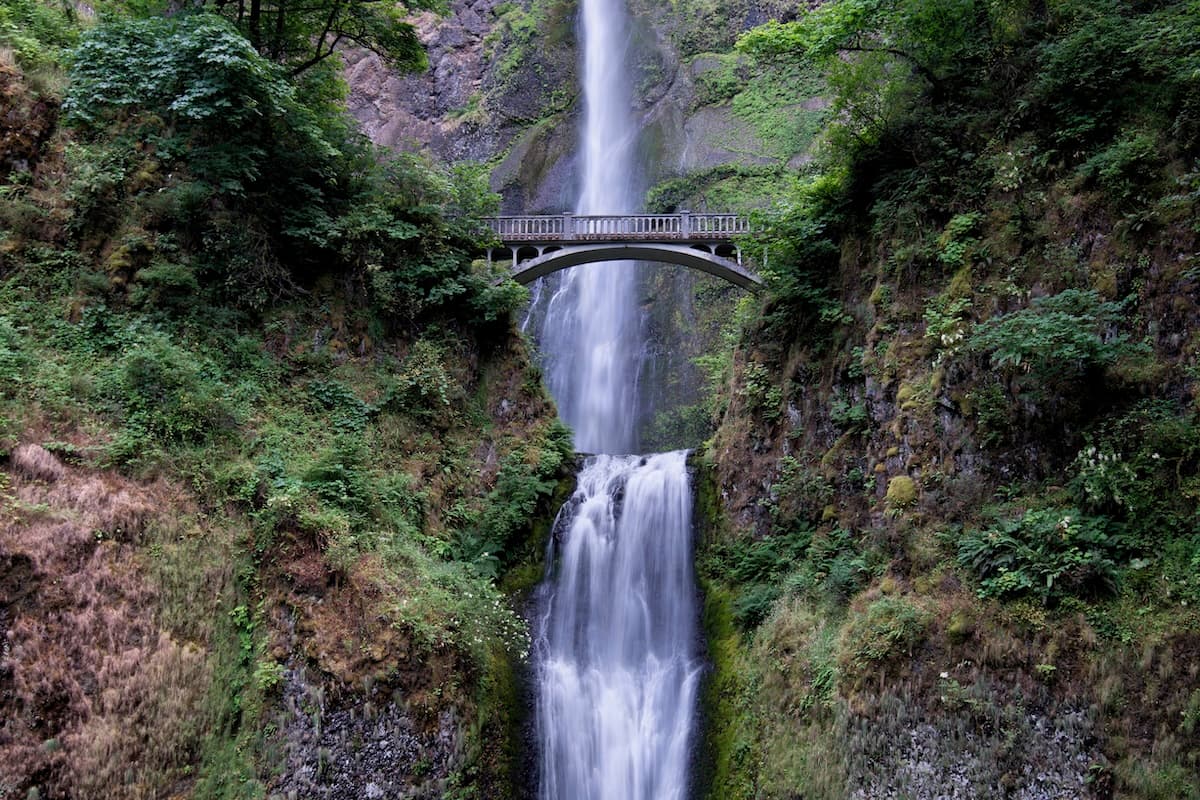
- 14Marymere Falls — the easy walk into the old growth guide →
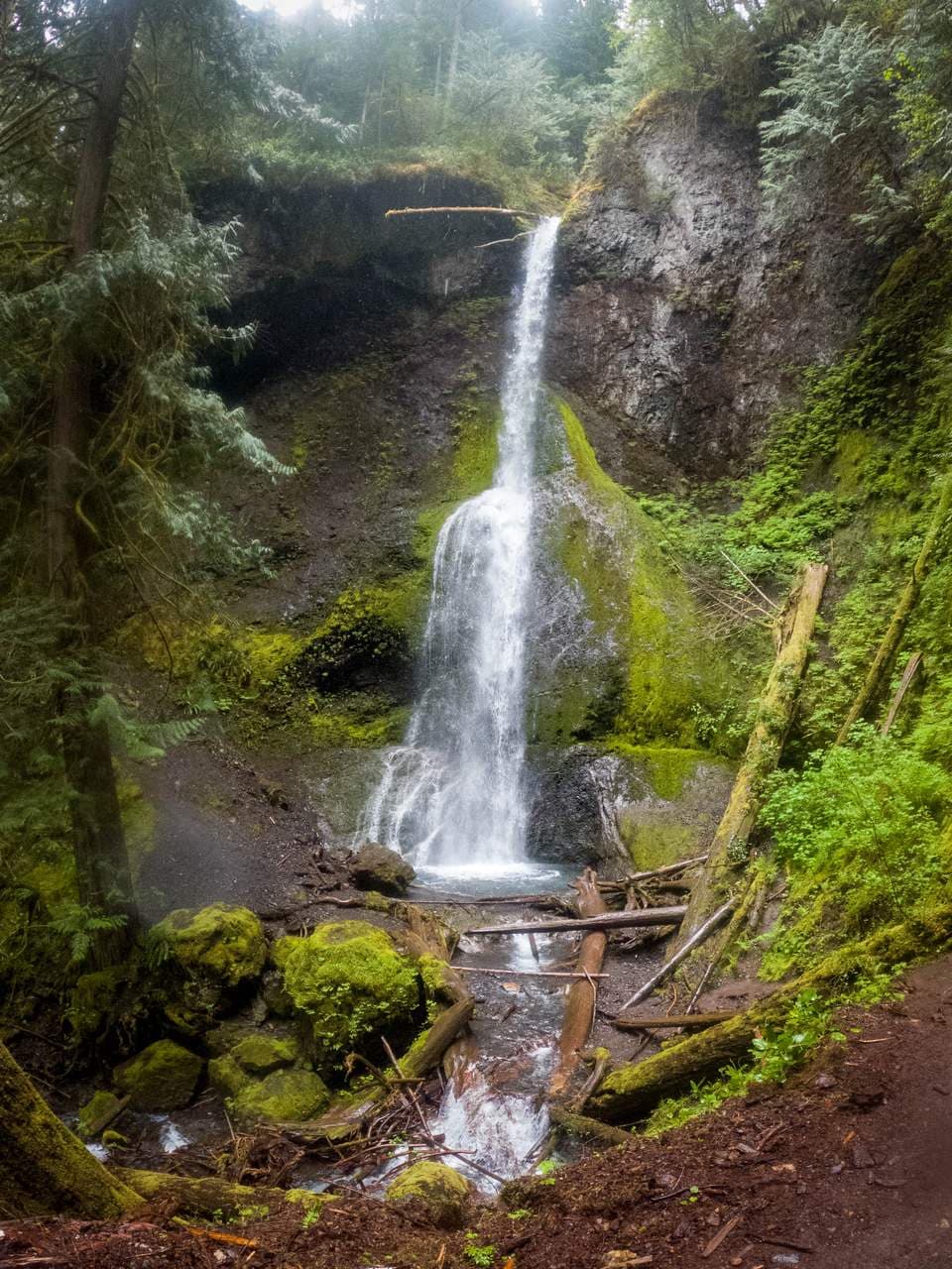
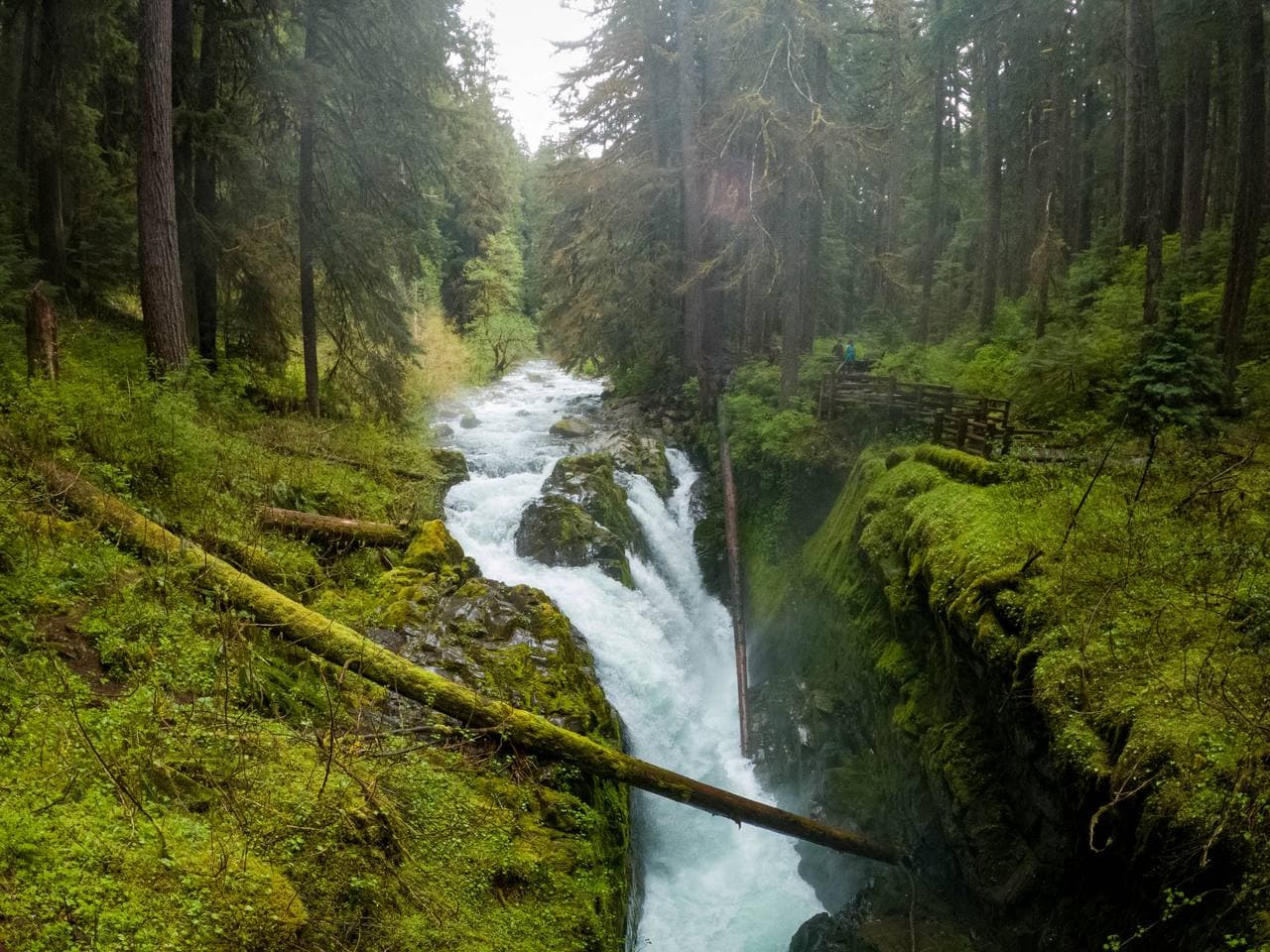
💧 Marymere Falls — the easy walk into the old growth
 15The War Spruce Railroad guide →
🎧 The War Spruce Railroad
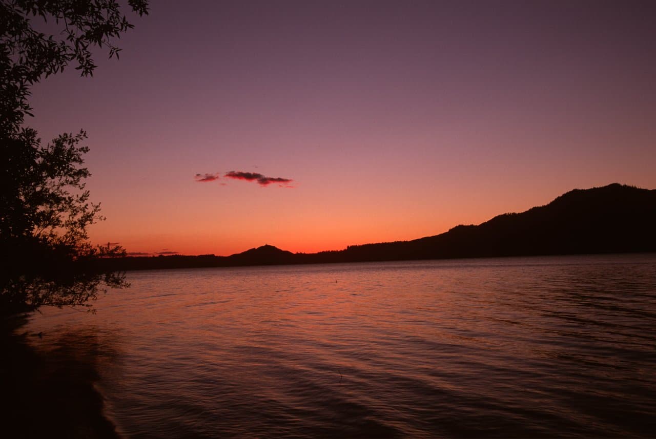
- 16Lake Crescent — the Blue Deep & the Lady of the Lake guide →
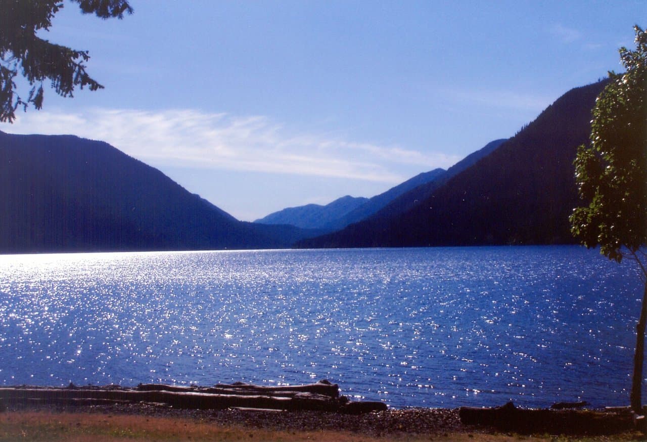
🌲 Lake Crescent — the Blue Deep & the Lady of the Lake
 17The Trout In One Lake guide →
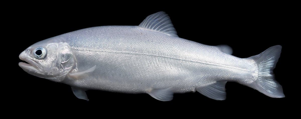
🎧 The Trout In One Lake
 18Reading The Trees guide →
🎧 Reading The Trees
- 19The Cleanest Rivers guide →
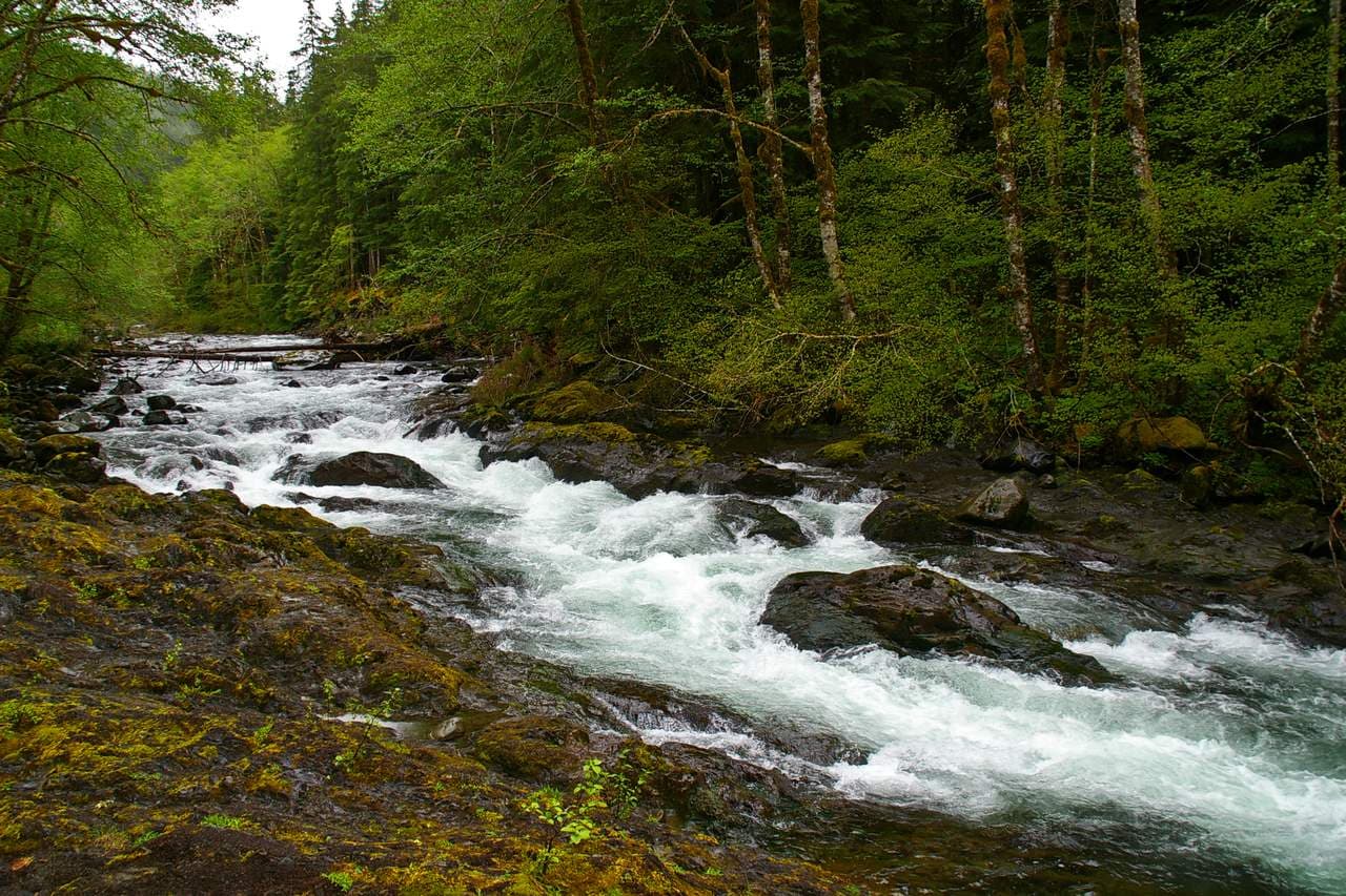
🎧 The Cleanest Rivers
- 20Following The River Home guide →
🎧 Following The River Home
- 21Ninety-Five Percent Wild guide →
🎧 Ninety-Five Percent Wild
- 22On The World's Short List guide →
🎧 On The World's Short List
- 23First Up Mount Olympus guide →
🎧 First Up Mount Olympus
 24Earning The Green guide →
🎧 Earning The Green
 25Onto The Rainy Flank guide →
🎧 Onto The Rainy Flank
- 26The Sound Of Wet Country guide →
🎧 The Sound Of Wet Country
- 27The Glaciered Little Peak guide →
🎧 The Glaciered Little Peak
- 28Ozette & the Makah — the village the sea kept (optional NW aside) guide →
🎧 Ozette & the Makah — the village the sea kept (optional NW aside)
 29Glacial Flour guide →
🎧 Glacial Flour
- 30The Shell Middens guide →
🎧 The Shell Middens
- 31The Last Natural Quiet guide →
🎧 The Last Natural Quiet
- 32Assembled Piece By Piece guide →
🎧 Assembled Piece By Piece
- 33The Nurse Log guide →
🎧 The Nurse Log
- 34A Temperate Rainforest guide →
🎧 A Temperate Rainforest
 35The Edge Of The Continent guide →
🎧 The Edge Of The Continent
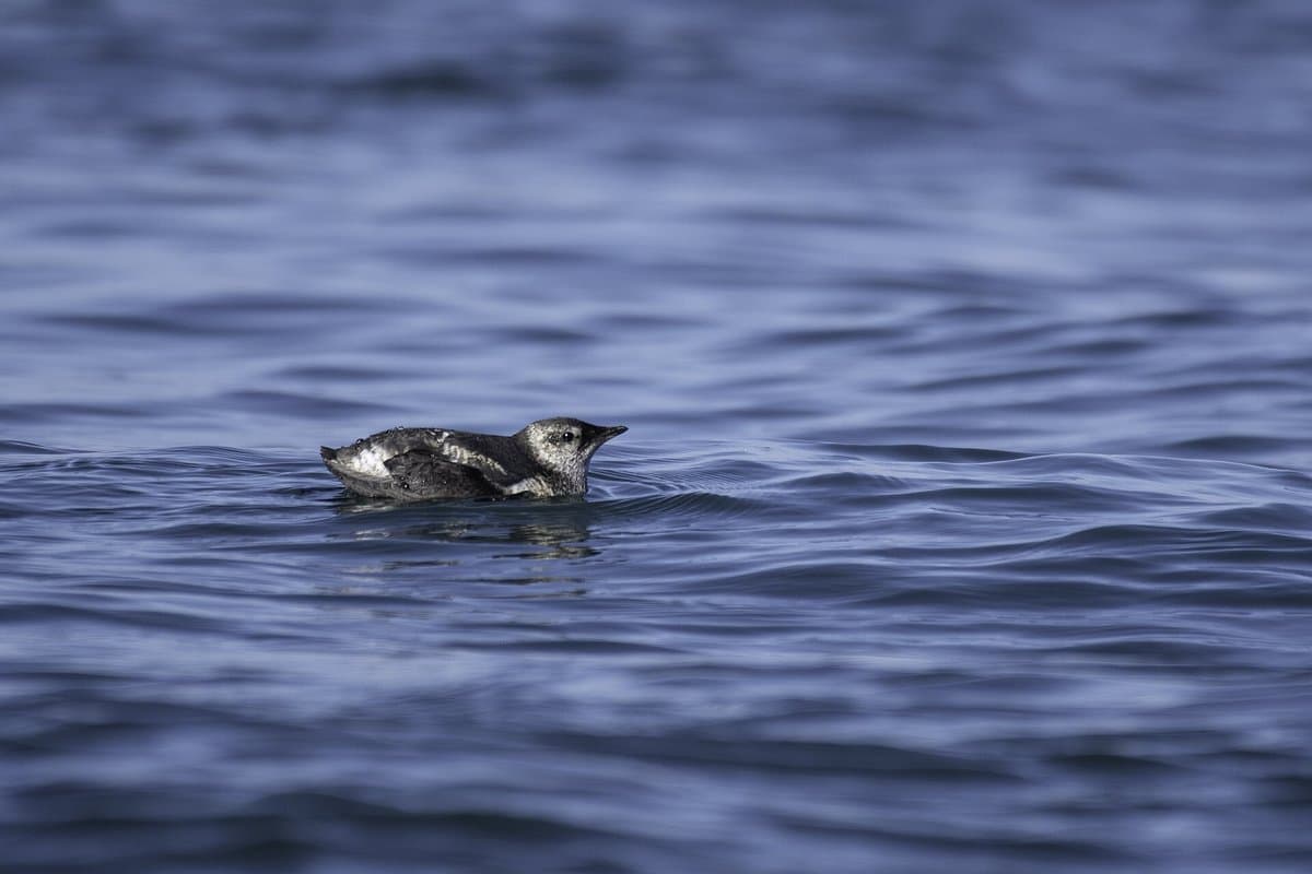 36The Marbled Murrelet guide →
🎧 The Marbled Murrelet
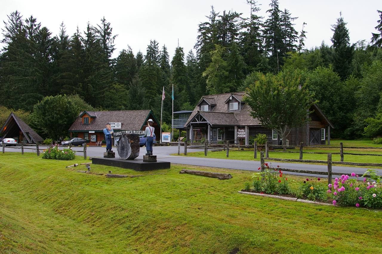 37Forks — Timber Town at the Edge of the Rainforest guide →
🎧 Forks — Timber Town at the Edge of the Rainforest
- 38The Hanging Gardens guide →
🎧 The Hanging Gardens
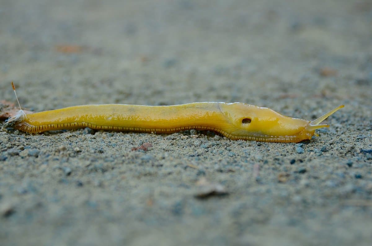 39The Banana Slug guide →
🎧 The Banana Slug
- 40The Network Underfoot guide →
🎧 The Network Underfoot
 41Seventy-Three Wild Miles guide →
🎧 Seventy-Three Wild Miles
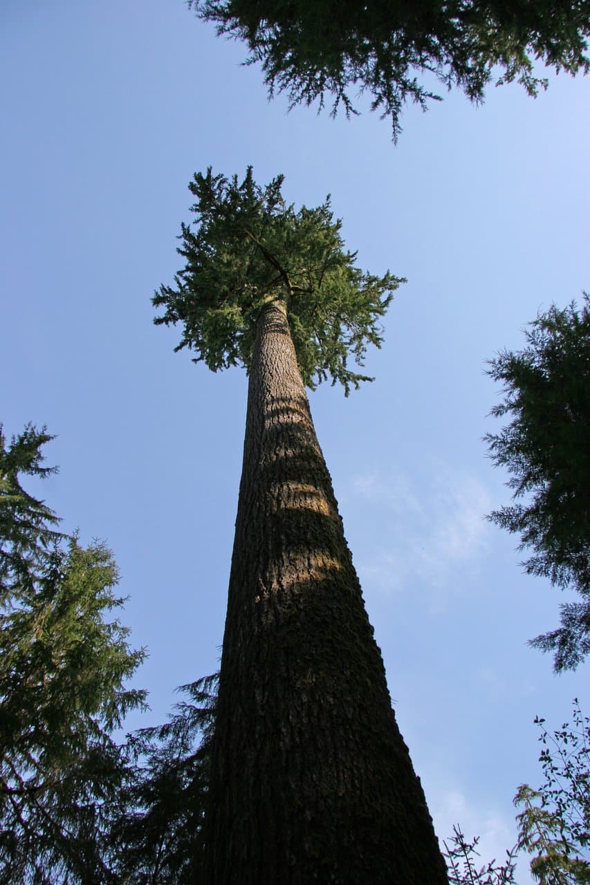 42Four Giants guide →
🎧 Four Giants
- 43Graveyard Of The Pacific guide →
🎧 Graveyard Of The Pacific
- 44Where Forest Meets Surf guide →
🎧 Where Forest Meets Surf
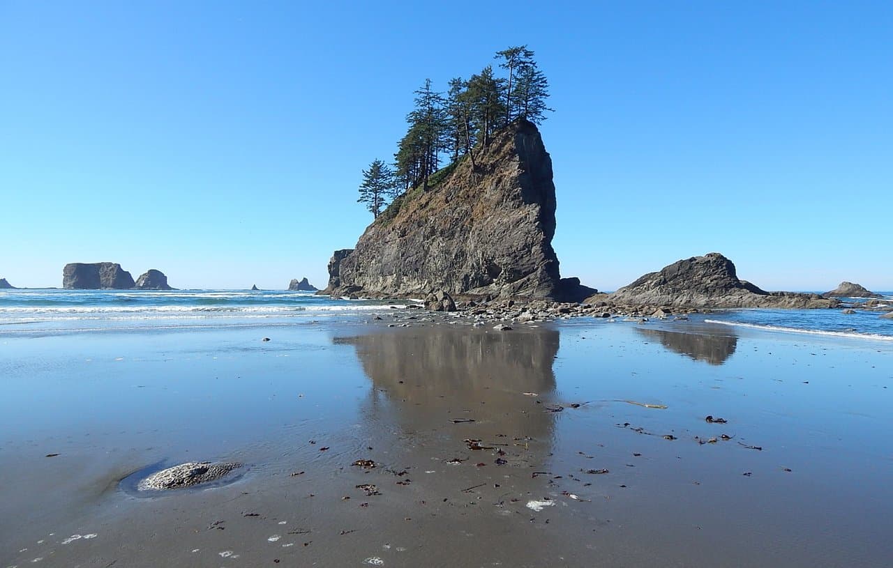
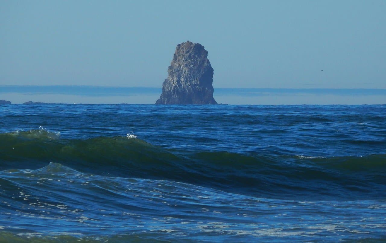
- 45The Sea Stacks guide →
🎧 The Sea Stacks
- 46The First Open Sky guide →
🎧 The First Open Sky
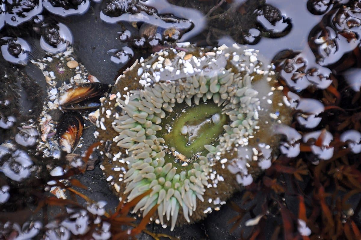 47The Tide Pools guide →
🎧 The Tide Pools
- 48The Drift Logs guide →
🎧 The Drift Logs
- 49The Gray Whale Lane guide →
🎧 The Gray Whale Lane
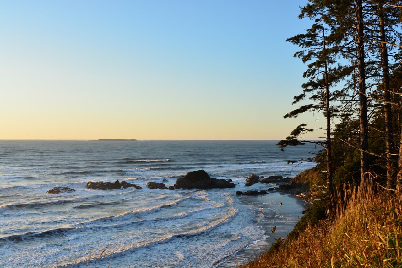
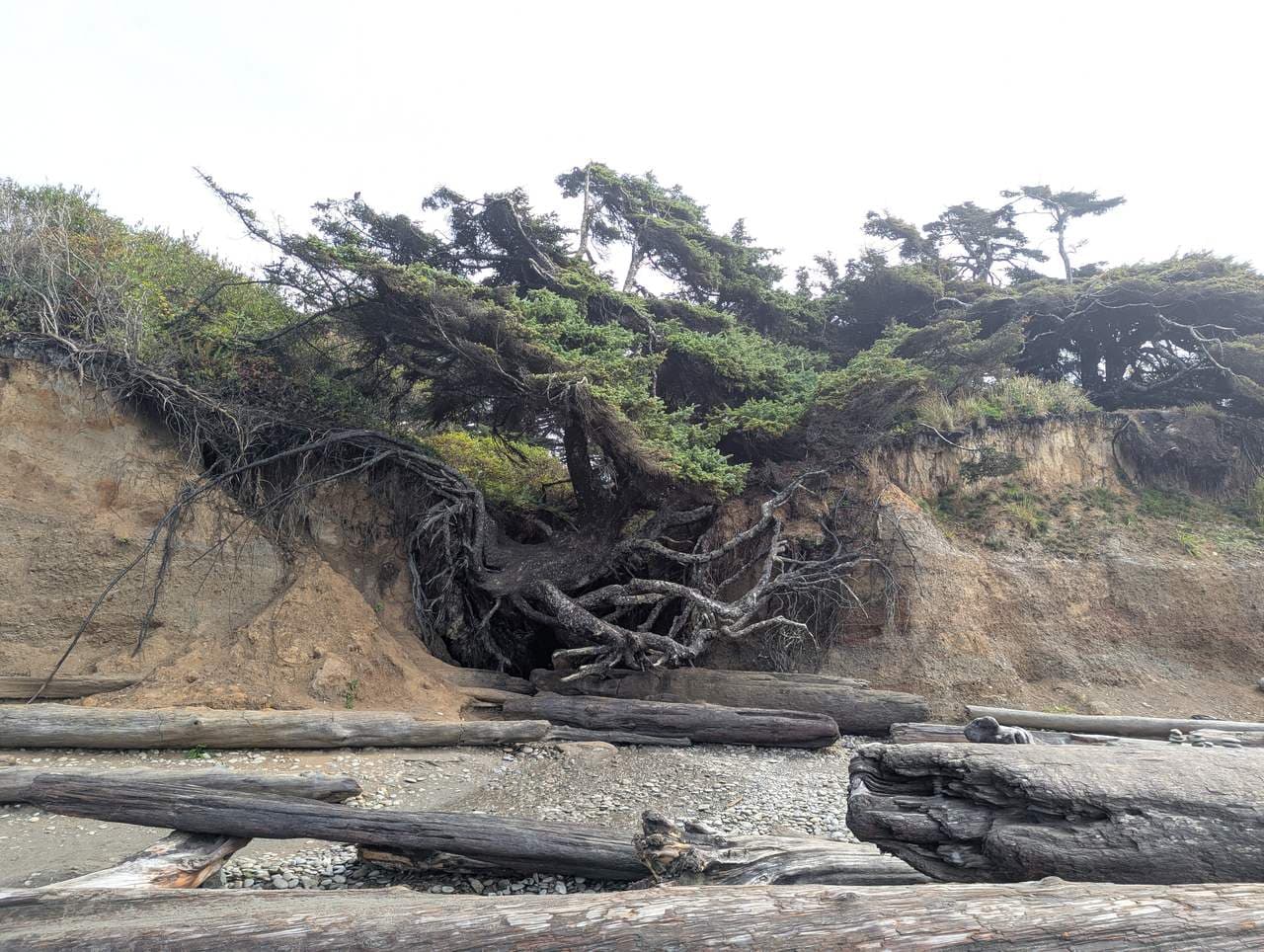
- 50Ruby Beach — where the highway meets the sea guide →
🌲 Ruby Beach — where the highway meets the sea
- 51The Wind The Sculptor guide →
🎧 The Wind The Sculptor
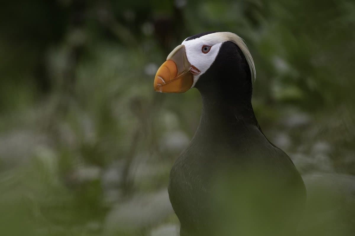 52The Seabird Islands guide →
🎧 The Seabird Islands
- 53Spokes On A Wheel guide →
🎧 Spokes On A Wheel
 54Kalaloch & Beach 4 — tide pools and the coast you can sleep on guide →
🌲 Kalaloch & Beach 4 — tide pools and the coast you can sleep on
 55The Tree of Life — the spruce that would not fall guide →
🌲 The Tree of Life — the spruce that would not fall
- 56The Unbroken Ark guide →
🎧 The Unbroken Ark
- 57The Crack Offshore guide →
🎧 The Crack Offshore
- 58The Water Tower guide →
🎧 The Water Tower
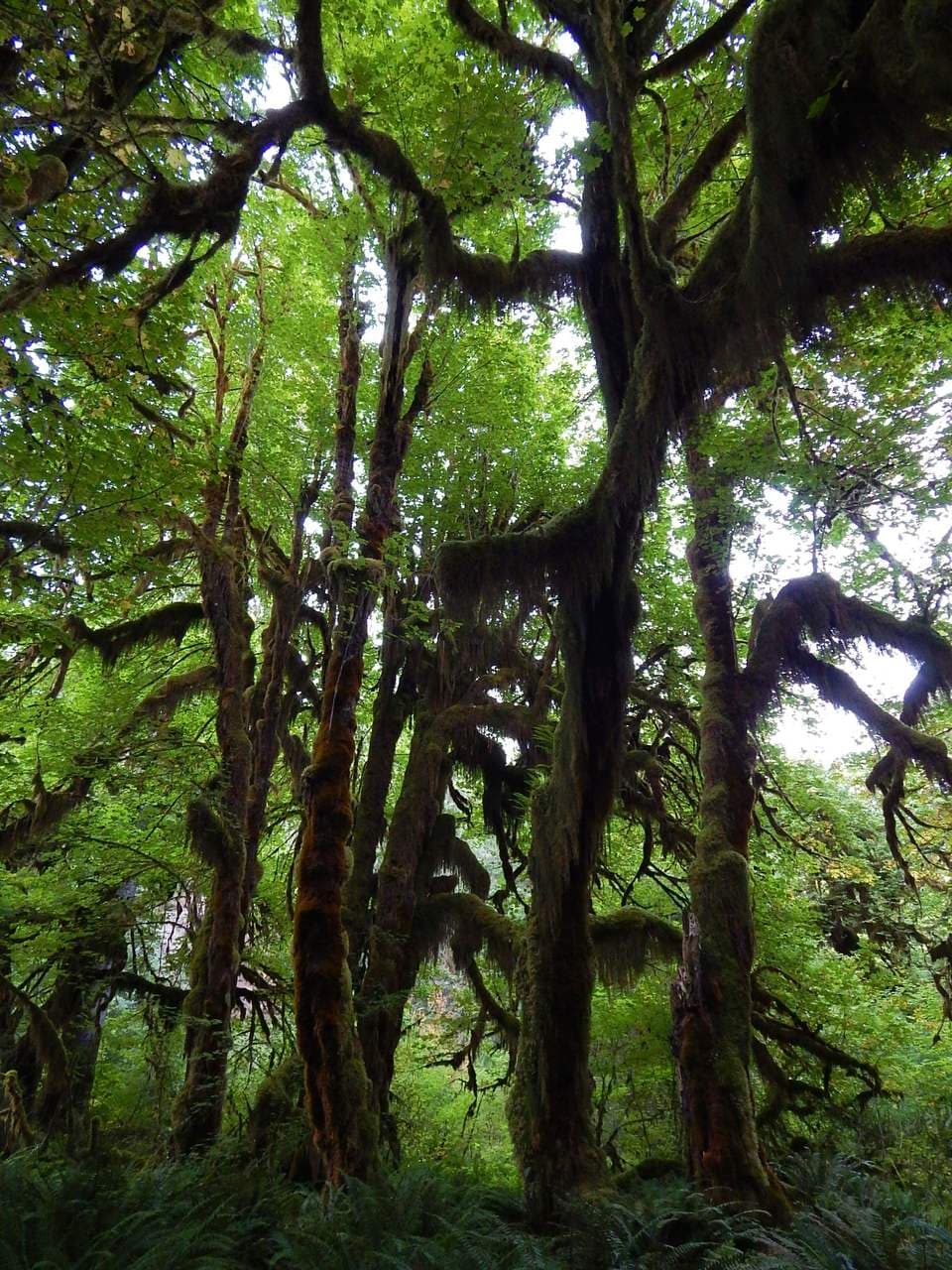
 59Into The Heaviest Forest guide →
🎧 Into The Heaviest Forest
- 60The Tree Of Life guide →
🎧 The Tree Of Life
- 61A Forest In Stories guide →
🎧 A Forest In Stories
- 62Life In The Canopy guide →
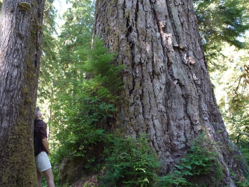
🎧 Life In The Canopy
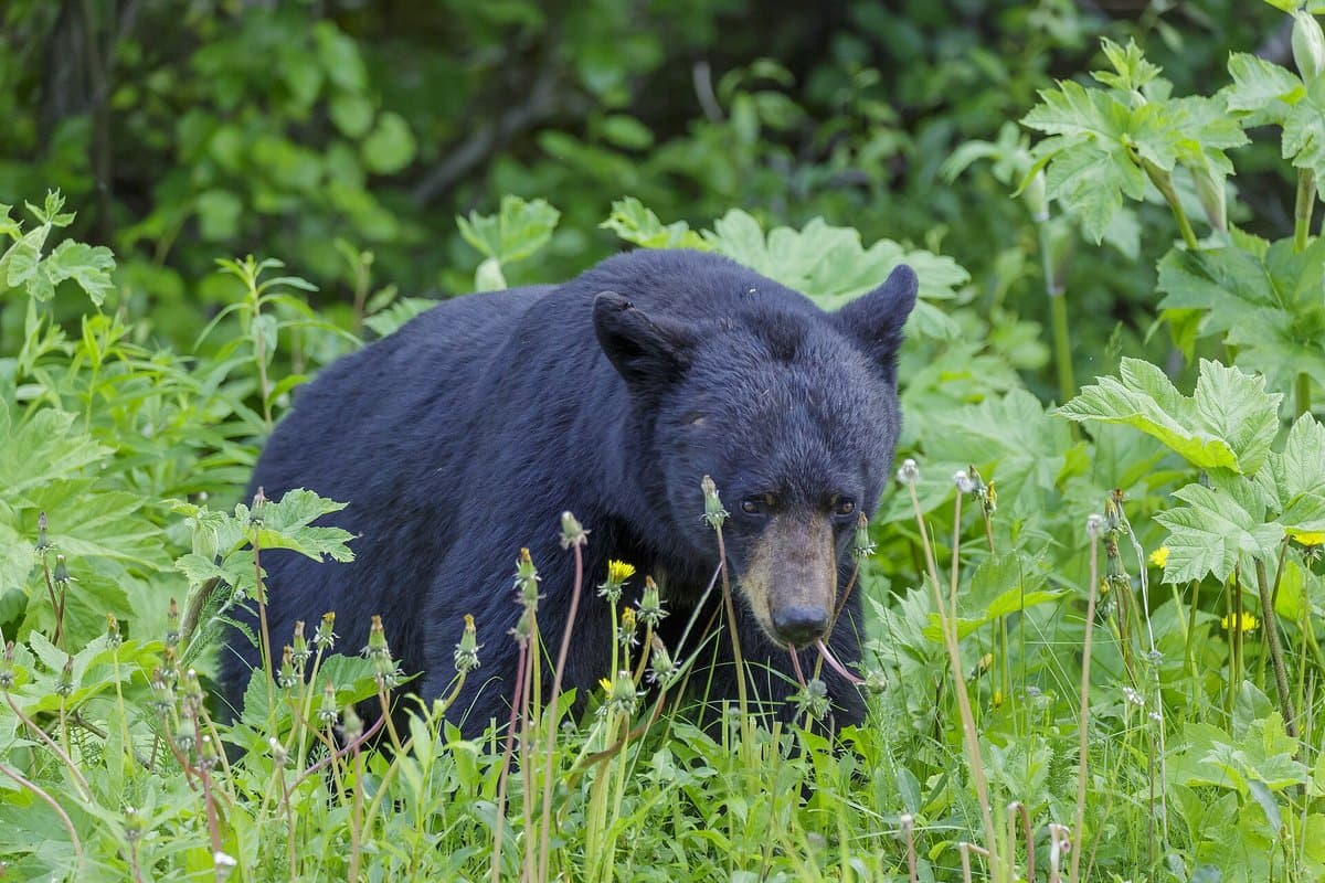 63Black Bear Country guide →
🎧 Black Bear Country
- 64The Queets — the wild heart you don't drive to (aside) guide →
🎧 The Queets — the wild heart you don't drive to (aside)
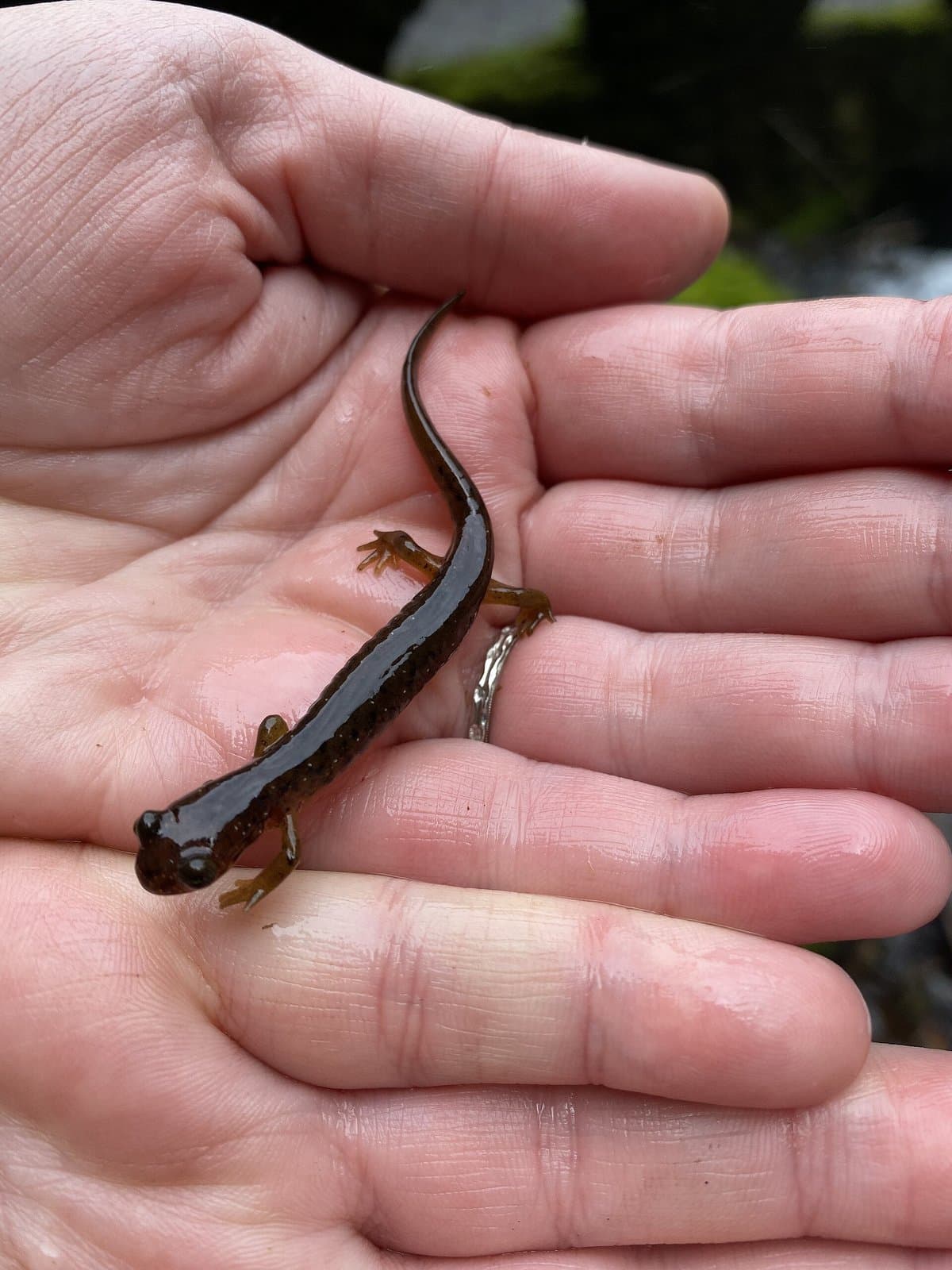
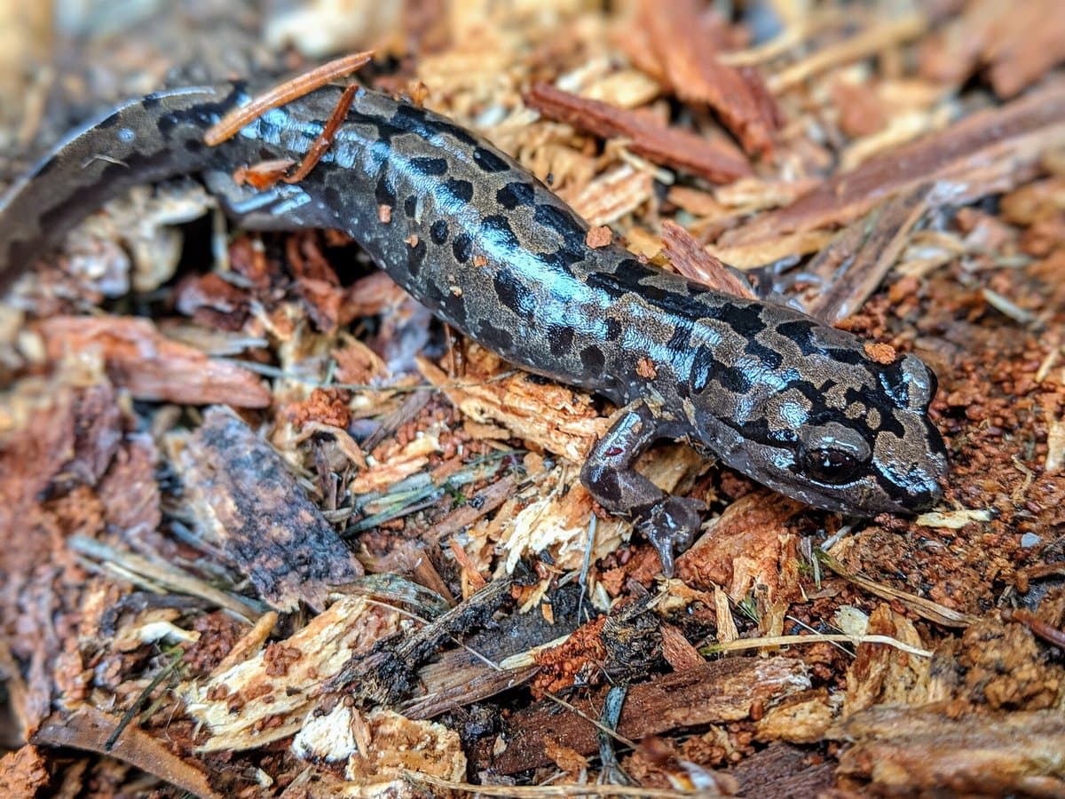 65Salamanders And Newts guide →
🎧 Salamanders And Newts
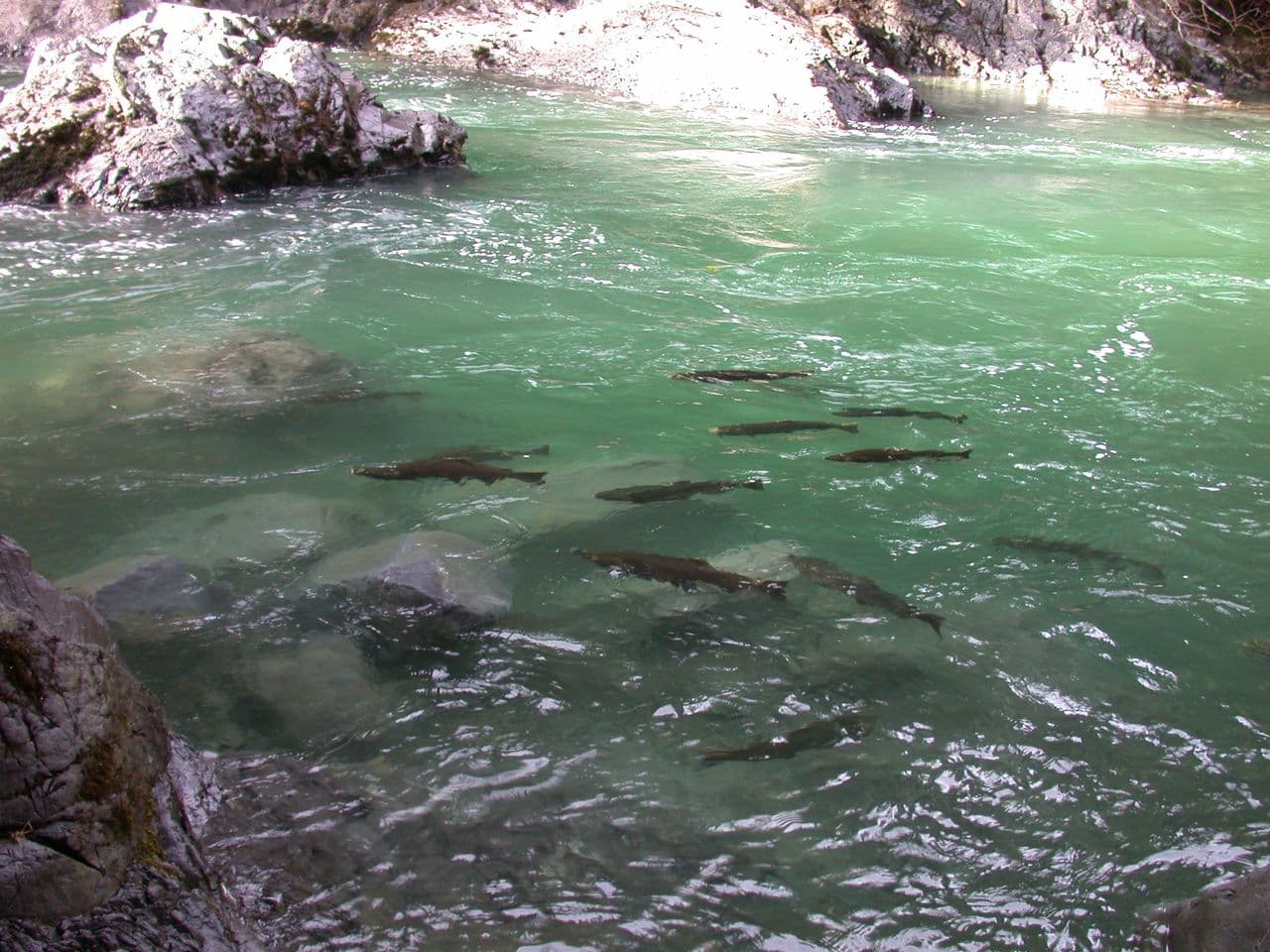
 66The Spawning Feast guide →
🎧 The Spawning Feast
- 67The Champion Wood-Growers guide →
🎧 The Champion Wood-Growers
 68The Three Worlds — a Ranger's Farewell (Lake Quinault finale) guide →
🎧 The Three Worlds — a Ranger's Farewell (Lake Quinault finale)
 69Through The Doorway guide →
🎧 Through The Doorway
 70
70🎧 Welcome to Olympic — Lake Quinault Gateway
- 71Down Toward The Sea guide →
🎧 Down Toward The Sea
- 72How The Mountains Were Made guide →
🎧 How The Mountains Were Made
- 73A Brief Summer Window guide →
🎧 A Brief Summer Window
- 74Pillow Basalt guide →
🎧 Pillow Basalt
- 75Climbing to Hurricane Ridge guide →
🎧 Climbing to Hurricane Ridge
- 76Seashells On The Summit guide →
🎧 Seashells On The Summit
- 77Into The Subalpine guide →
🎧 Into The Subalpine
 78A Sprinter's Season guide →
🎧 A Sprinter's Season
- 79Wildlife Against The Sky guide →
🎧 Wildlife Against The Sky
- 80Treading Light guide →
🎧 Treading Light
- 81Why It's Called Hurricane guide →
🎧 Why It's Called Hurricane
- 82The Long Ride Down guide →
🎧 The Long Ride Down
&w=3840&q=75) 83
83🥾 Sunrise Viewpoint Trail — the walk out (park & walk)
 84Sunrise Viewpoint Trail — the walk out guide →
🥾 Sunrise Viewpoint Trail — the walk out
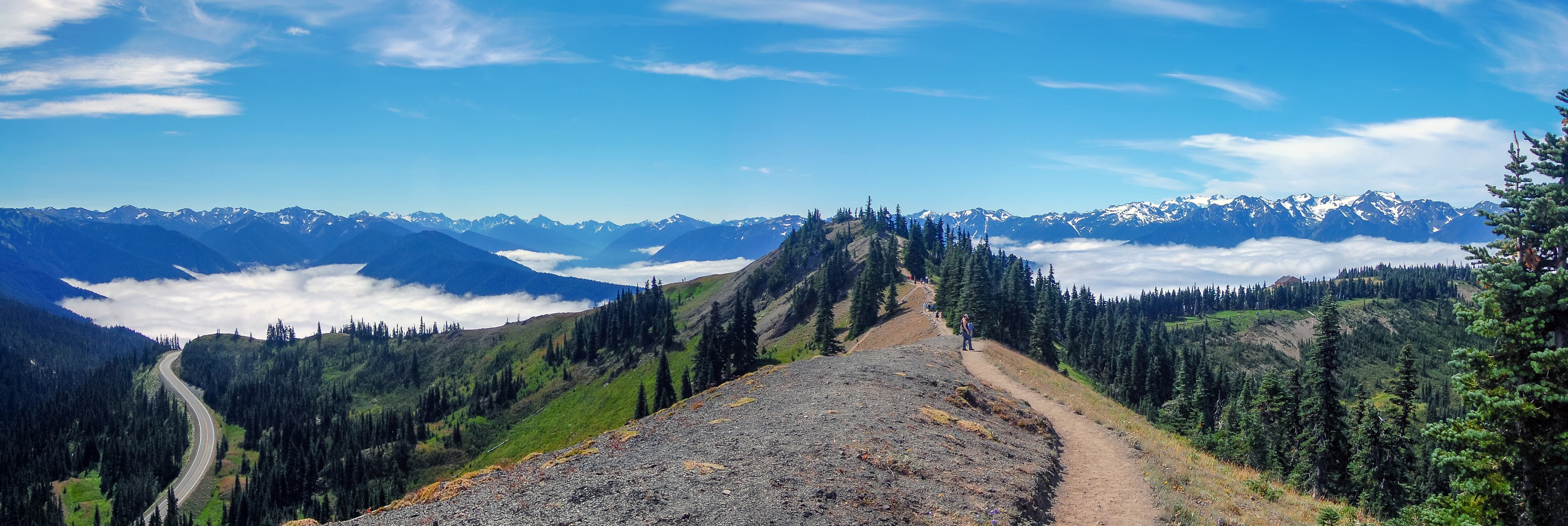
 85Sunrise Viewpoint guide →
🌲 Sunrise Viewpoint
- 86Hurricane Ridge — the Roof of the Peninsula guide →
🌲 Hurricane Ridge — the Roof of the Peninsula
&w=3840&q=75) 87
87🥾 Hurricane Hill Trail — the trailhead (park & walk)
- 88Hurricane Hill Trail — the trailhead guide →
🥾 Hurricane Hill Trail — the trailhead
- 89The Subalpine Meadows — marmots, wildflowers & the high trails guide →
🥾 The Subalpine Meadows — marmots, wildflowers & the high trails
- 90The Elwha — a River Set Free (Madison Falls) guide →
💧 The Elwha — a River Set Free (Madison Falls)
- 91Headed The Same Way guide →
🎧 Headed The Same Way
- 92A Warm Heart Beating guide →
🎧 A Warm Heart Beating
- 93Clear As Glass guide →
🎧 Clear As Glass
- 94The Finished Work guide →
🎧 The Finished Work
- 95Up the Sol Duc — the Sparkling Waters guide →
🎧 Up the Sol Duc — the Sparkling Waters
- 96The Hotel That Burned guide →
🎧 The Hotel That Burned
- 97Salmon Cascades — the leap upriver guide →
🌲 Salmon Cascades — the leap upriver
- 98Lichen And Clean Air guide →
🎧 Lichen And Clean Air
- 99Building To The Falls guide →
🎧 Building To The Falls
 100Where The Road Runs Out guide →
🎧 Where The Road Runs Out
&w=3840&q=75) 101
101🥾 Sol Duc Falls Trail — the trailhead (park & walk)
- 102Sol Duc Falls Trail — the trailhead guide →
🥾 Sol Duc Falls Trail — the trailhead
- 103Sol Duc Falls — the river splits and falls guide →
💧 Sol Duc Falls — the river splits and falls
- 104A-Ka-Lat, Island Of Rest guide →
🎧 A-Ka-Lat, Island Of Rest
- 105Back Up The Watershed guide →
🎧 Back Up The Watershed
- 106A String Of Beaches guide →
🎧 A String Of Beaches
- 107Masters Of The Sea guide →
🎧 Masters Of The Sea
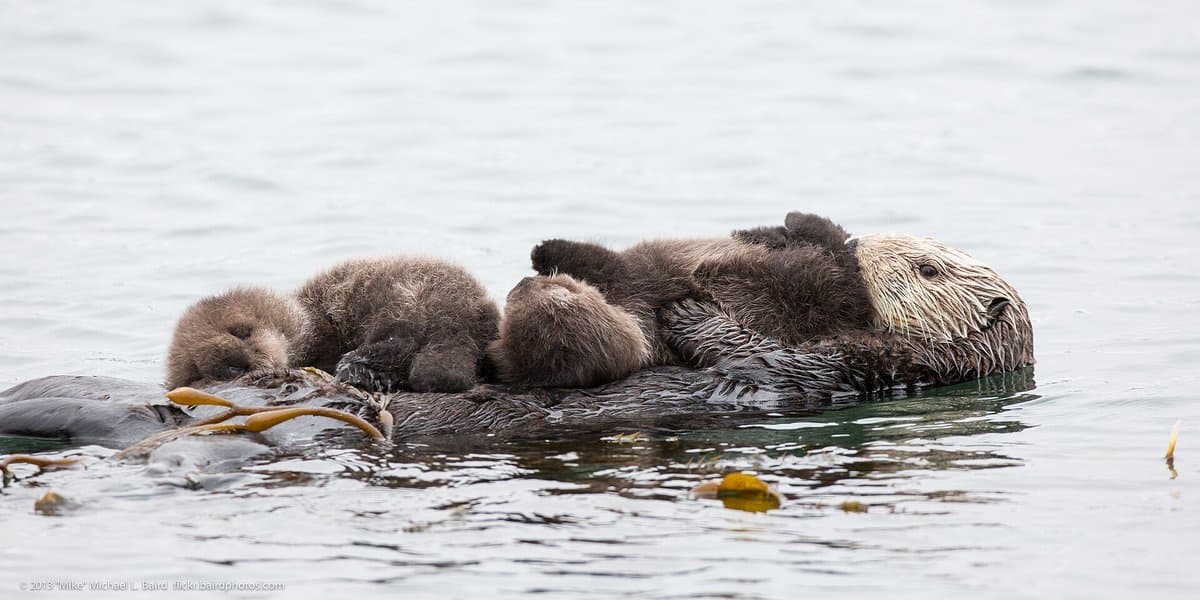 108The Otters' Comeback guide →
🎧 The Otters' Comeback
- 109Salt And Thunder Fade guide →
🎧 Salt And Thunder Fade
- 110Turning From The Ocean guide →
🎧 Turning From The Ocean
&w=3840&q=75) 111
111🥾 Second Beach Trail — the trailhead (park & walk)
- 112Second Beach Trail — the trailhead guide →
🥾 Second Beach Trail — the trailhead
- 113Second Beach & La Push — the Quileute Coast guide →
🌲 Second Beach & La Push — the Quileute Coast
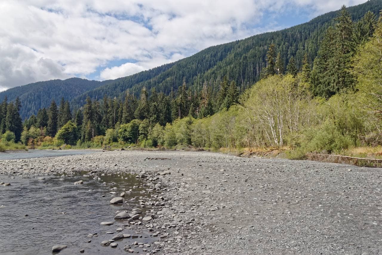
- 114Into The Rainiest Forest guide →
🎧 Into The Rainiest Forest
- 115The Braided River guide →
🎧 The Braided River
- 116Carved By A Glacier guide →
🎧 Carved By A Glacier
- 117Into the Hoh — the longest valley road guide →
🎧 Into the Hoh — the longest valley road
- 118One Square Inch Of Silence guide →
🎧 One Square Inch Of Silence
- 119Ferns And Wood Sorrel guide →
🎧 Ferns And Wood Sorrel
- 120The Towering Sitka Spruce guide →
🎧 The Towering Sitka Spruce
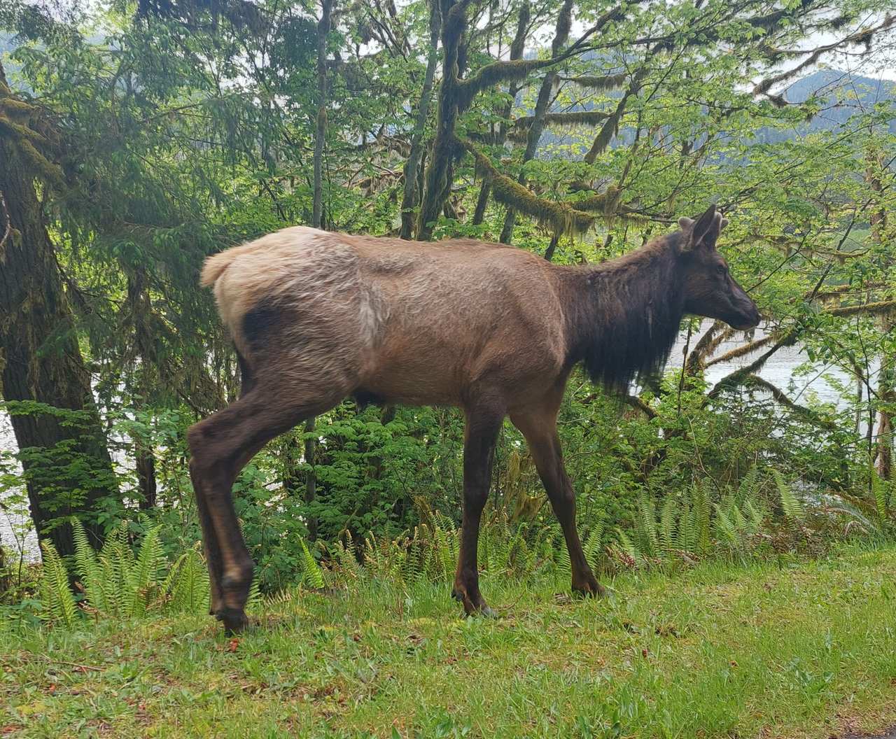 121The Bugling Bull Elk guide →
🎧 The Bugling Bull Elk
- 122The Moss-Draped Maples guide →
🎧 The Moss-Draped Maples
 123The Voice Of The Rainforest guide →
🎧 The Voice Of The Rainforest
- 124The Heart Of It guide →
🎧 The Heart Of It
- 125The Hall Of Mosses guide →
🎧 The Hall Of Mosses
- 126Roosevelt Elk — why this park exists guide →
🎧 Roosevelt Elk — why this park exists
&w=3840&q=75) 127
127🥾 Hall of Mosses Trail — the trailhead (park & walk)
- 128Hall of Mosses Trail — the trailhead guide →
🥾 Hall of Mosses Trail — the trailhead
- 129The Hoh Rain Forest — Hall of Mosses guide →
🥾 The Hoh Rain Forest — Hall of Mosses
- 130Where Champions Cluster guide →
🎧 Where Champions Cluster
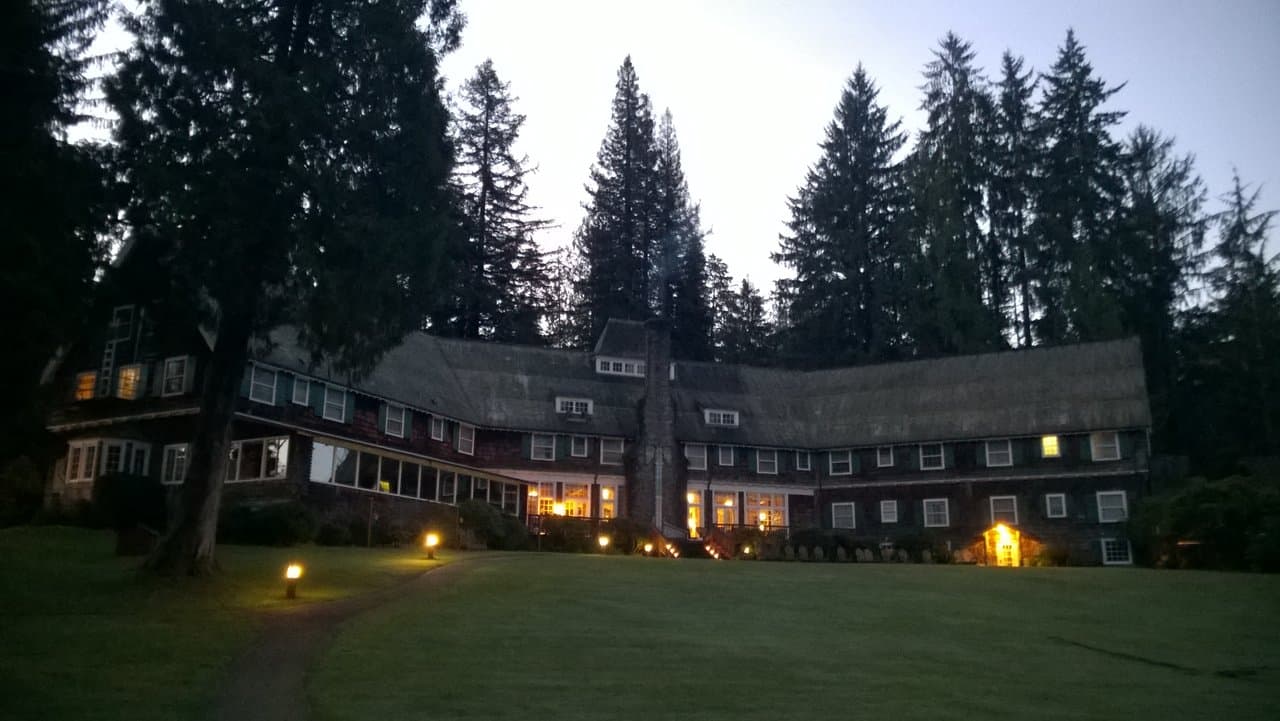
- 131Lake Quinault Lodge — where a president made a park guide →
🌲 Lake Quinault Lodge — where a president made a park
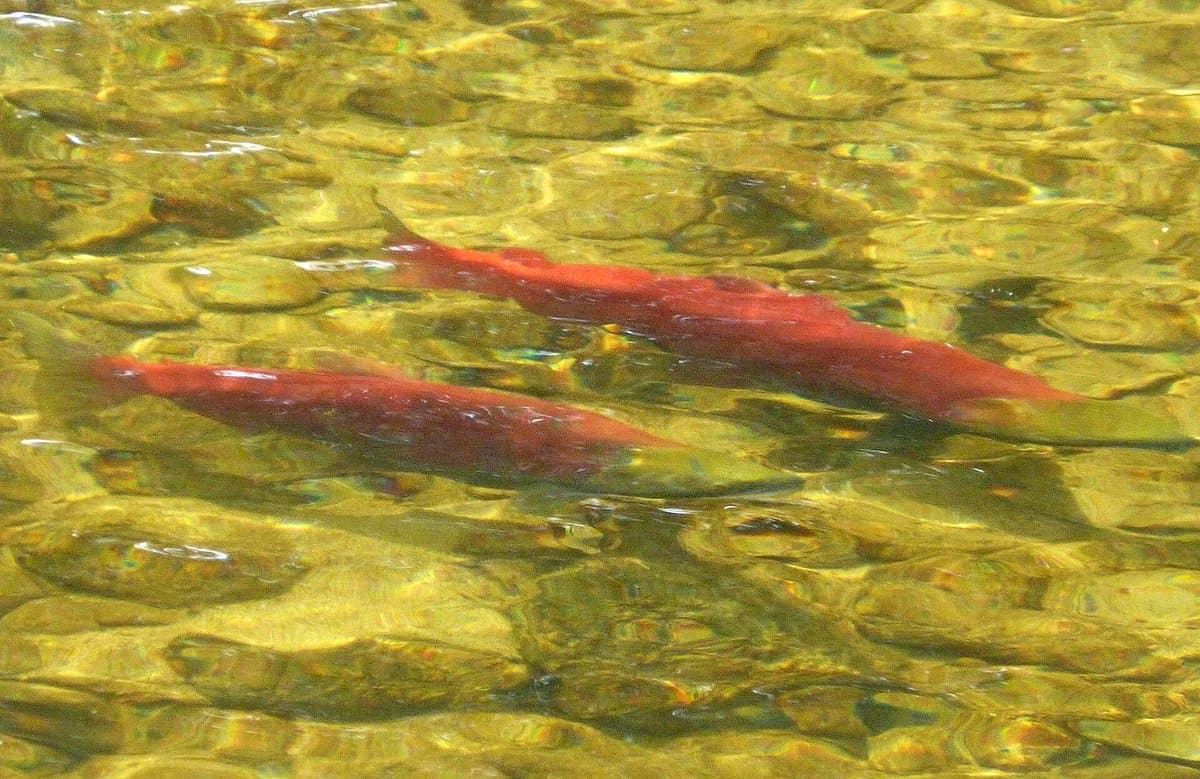 132The Blueback Salmon guide →
🎧 The Blueback Salmon
&w=3840&q=75) 133
133🥾 Big Spruce Trail — the trailhead (park & walk)
- 134Big Spruce Trail — the trailhead guide →
🥾 Big Spruce Trail — the trailhead
- 135The World's Largest Sitka Spruce guide →
🥾 The World's Largest Sitka Spruce
- 136Everything Grows On Everything guide →
🎧 Everything Grows On Everything
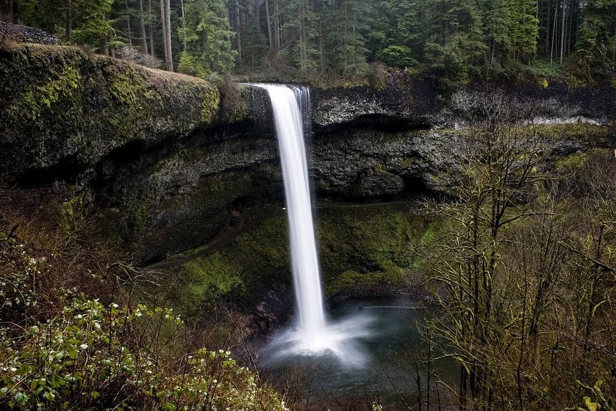
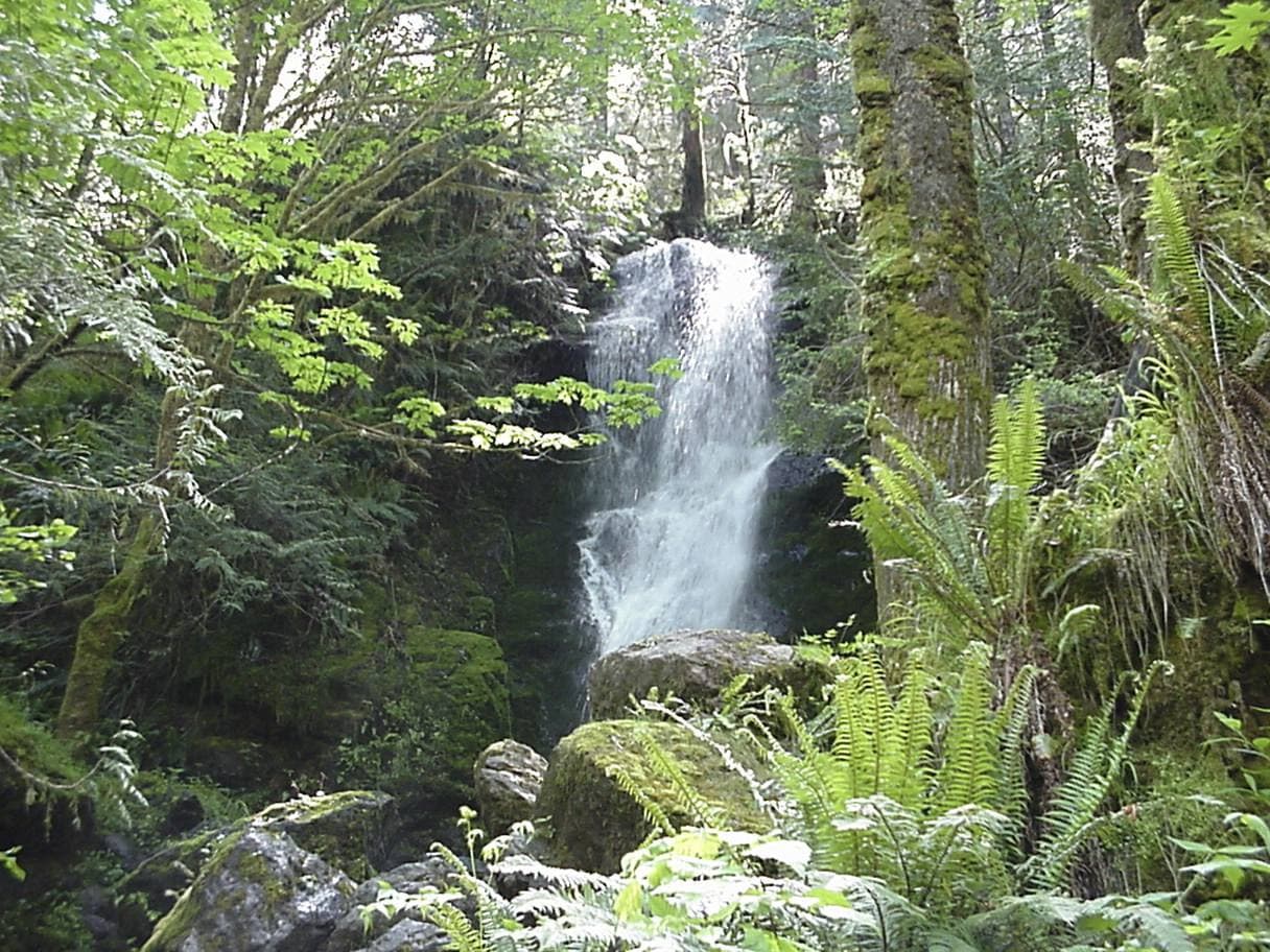 137Merriman Falls — the rainforest's roadside ribbon guide →
💧 Merriman Falls — the rainforest's roadside ribbon
Plan your visit
Good to know
🎧 Get the tour
Olympic National Park — in your pocket
Download the app, unlock the tour, and let it explore with you. Works offline.
Book the self-guided tour, or get it in the app.
More tours nearby